Georeference an Image with an Extent in ArcGIS Pro
You can do a lot with rasters and imagery in ArcGIS Pro, the most basic of which is adding an image to a map.
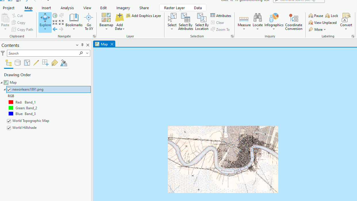
When adding an image to a map, if it does not have geographical metadata within the file, the image will be placed at (0, 0) - Null Island.

To place the image at the correct location, you must tell ArcGIS Pro where on the map to place it. This is called Georeferencing.
The way to georeference an image is to create “Control points,” which match the points on the image to points on the map. If you do this at least 3 or 4 times, ArcGIS Pro can interpolate the rest of the image and get it to where it needs to go.
What if you have an image and you know its extent (that is, the coordinates of each of its sides - xmin, xmax, ymin, ymax)? You should not need to create control points - you should be able to tell ArcGIS Pro “stretch this image between these 4 corners (the extent values)” and that’s all - no manual control points needed.
The solution is to create a world file. The world file is a six-line plain text file that is designed for this purpose — to georeference an image. This is the template to convert the extent values to a world file:
(XMAX-XMIN)/(IMAGE_WIDTH)
0
0
-(YMAX-YMIN/(IMAGE_HEIGHT))
XMIN
YMAX
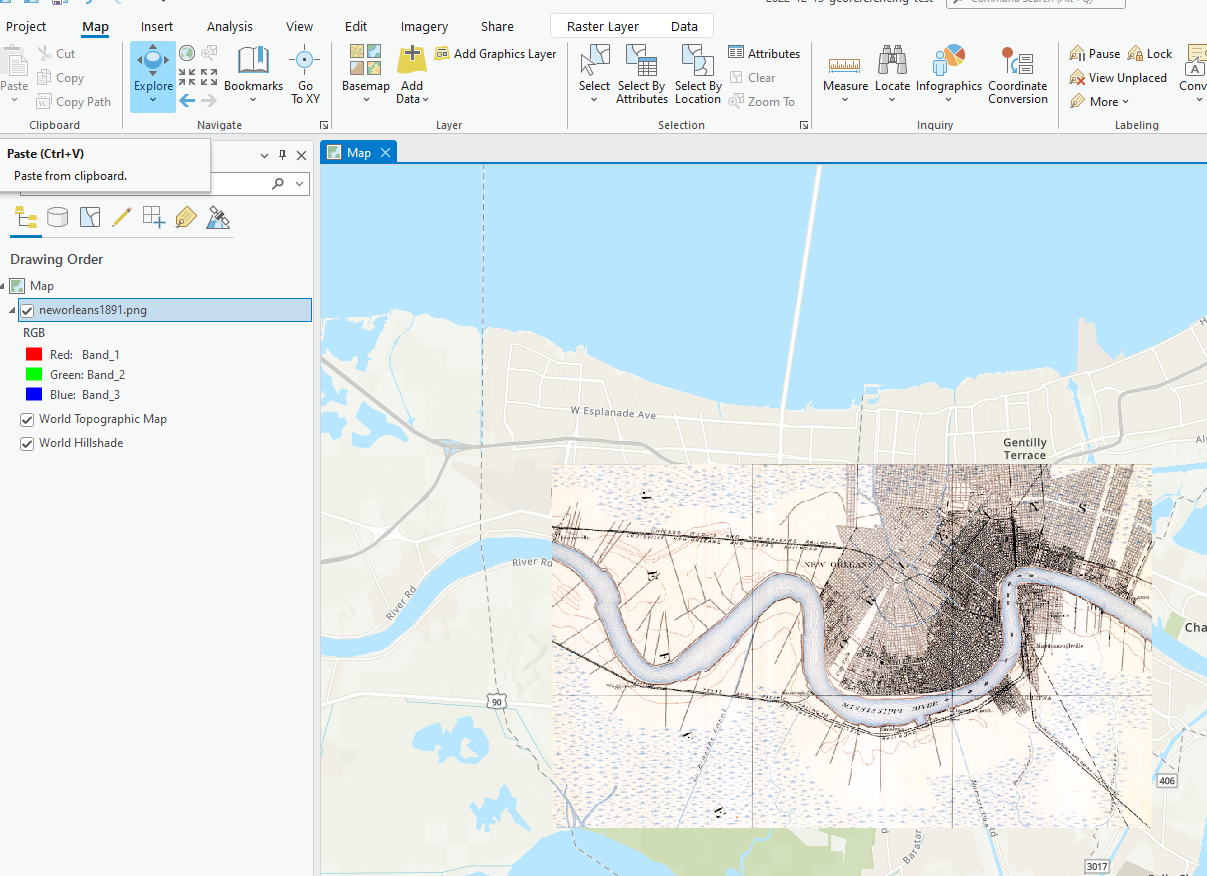
The convention is to name the world file the same file extension but with a “w” appended. So if you have a PNG, create a file with the same name as the image, but file extension “.pngw” instead of “.png”. Save this in the same directory as the image, then re-add the image to a map in ArcGIS Pro. Your image will be placed in the exactly correct spot!

Subscribe
Get an email summary of my blog posts (four per year):
... or follow the blog here: