Published Web App
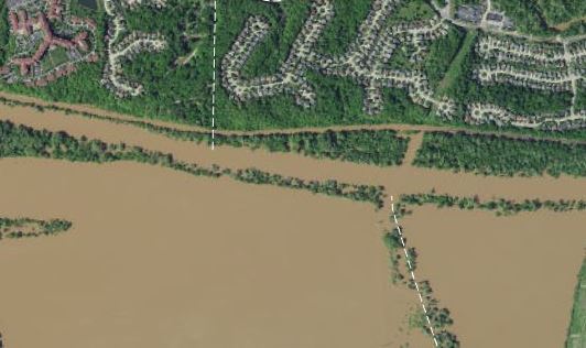
Last week Missouri got a lot of rain, which caused flooding in the Meramec river valley near St. Louis. I received a link to an ArcGIS Image Service that Surdex had created and provided that showed the flooding as of Tuesday 5/2. They flew this imagery as a service to the government and first responders, hoping to help those affected quicker and more efficiently.
Here’s a sample:

I was really interested in this imagery, but it lacked some context - I couldn’t tell how the flooding depicted in the imagery compared to normal conditions. I knew ArcGIS Web AppBuilder had a swipe widget though, so I quickly:
- Added the Image Service (provided by Surdex) to a web map, and chose the ArcGIS Imagery basemap and an initial extent
- Created a Web App from that web map using Web AppBuilder.
- In Web AppBuilder, enabled the swipe tool to be enabled by default.
- Shared the web map and app publicly.
This app provided a really compelling, interesting view of the data:
(full app)
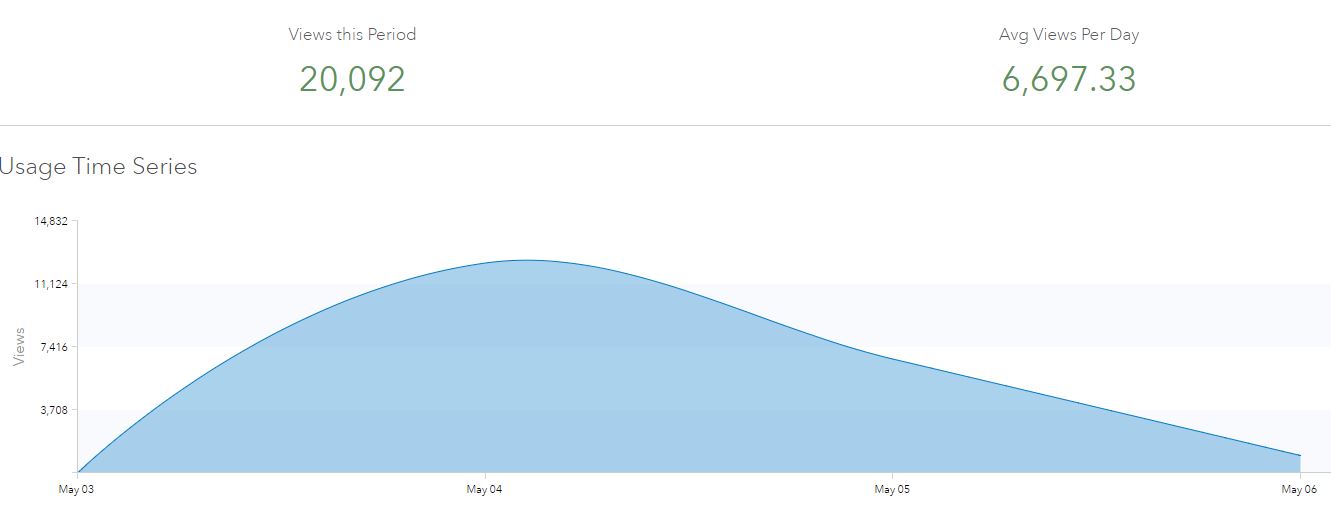
The app web viral on Twitter and Facebook - gaining 20,000 views over a three-day period, and even got published on the St. Louis Post Dispatch.

A few links:
- Updated app with bookmarks of interesting locations from Esri
- Press Release from Surdex
- Esri Instagram Post
Subscribe
Get an email summary of my blog posts (four per year):
... or follow the blog here: