St. Louis Imagery - 1990 to Now
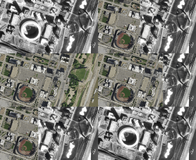
 What kind of changes to the built environment happened in your city within the past 25 years? Looking at and comparing aerial imagery can be an informative and compelling way to investigate changes. In St. Louis, many large building developments have happened over the years including:
- The St. Louis Arena Demolition
- The building and opening of Terminal 2 at St. Louis Lambert International Airport
- The demolition of Busch Memorial Stadium and the construction of the “New” Busch Stadium
… and much more. Luckily for the St. Louis region, the MSDIS maintains imagery services across different years. I recently found one of their imagery services from 1990 and put it into an application to compare it to more recent (I think ~2015) imagery. Check it out:
I’ve added a few preset locations to the application to some heavily changed, interesting areas. What areas of interest do you have? Let me know in the comments below.
Subscribe
Get an email summary of my blog posts (four per year):
... or follow the blog here: