Tag Sports
The Geography of Basketball: Mapping NBA Shotcharts in ArcGIS
Here, I want to show how you can use Python to push this data into a Geographic Information System, ArcGIS. From there, you can leverage concepts, tools, and applications that are generally reserved for geography and geographers to make some great visuals from NBA player shot chart data. (A guest post by Gregory Brunner)
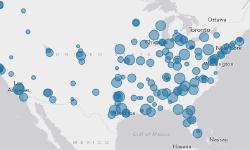
US Football Stadiums
Web Maps
Here are a few web maps I’ve created using ArcGIS Online recently. The first one is using imagery from MS DIS - Missouri 1990 compared to 2008.
←
2