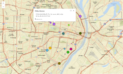
Tag St. Louis, MO, USA
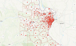
St. Louis Catholic Parishes
St. Louis Parks
Load Protocol Buffers in the Browser
While working on a project recently I was inspired to learn a bit more about Protobuf files. I especially wanted to know how you can load them directly in a browser.
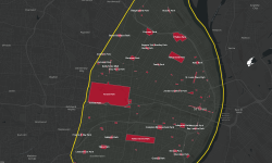
St. Louis Vacant Properties
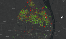
St. Louis Imagery - 1990 to Now
What kind of changes to the built environment happened in your city within the past 25 years? Looking at and comparing aerial imagery can be an informative and compelling way to investigate changes.
Top 5 Parking Locations at Lambert St. Louis Airport (Updated 2018)
A few years ago I posted an analysis of the best airport parking providers near Lambert St. Louis Airport. Even though I usually post technology and mapping related posts, this is actually one of the most popular posts on this blog. (Lol!) In the intervening years since that was posted, some of the information has gone stale - most notably the parking prices changed which, it turns out, changes the order of the list!
Published Web App
Last week Missouri got a lot of rain, which caused flooding in the Meramec river valley near St. Louis. I received a link to an ArcGIS Image Service that Surdex had created and provided that showed the flooding as of Tuesday 5/2. They flew this imagery as a service to the government and first responders, hoping to help those affected quicker and more efficiently.
St. Louis Lambert Airport Passenger Data
Our city’s airport posts data on how many passengers travel through the airport each month and year. It’s posted as a PDF but the data is hard to use in that format. I grabbed the data and put it into a better format.
St. Louis Bike Trails with Open Data from Great Rivers Greenway
2016 was a year of biking for my wife and me. We biked many trails in St. Louis, and even did part of the Katy Trail. So when I saw St. Louis City alderman Scott Ogilvie tweeting about Great Rivers Greenway, the trails organization in the St. Louis area, I started wondering what the future of St. Louis trails will be.